Use APKPure App
Get Wisconsin Waterways old version APK for Android
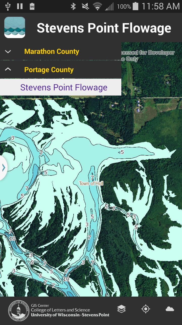
Orta Wisconsin su yolları için su derinliği haritaları (Portage & Marathon ilçeleri).
The Wisconsin Waterways app shows depth contours (in feet) and map information for several Central Wisconsin water bodies including the Stevens Point Flowage (Portage County), Lake Wausau (Marathon County), and eleven Eastern Marathon County Lakes. In addition to water depth contour information under normal water-level conditions, the app also includes the locations of old log pilings (Stevens Point flowage only), points of interest such as nearby parks and boat launch locations, and municipal boundaries. Each map layer can be added or removed to suit user needs.
Features:
• Select from multiple water bodies
• Add/remove map layers
• Geo-location
• Picture taking
• Current and predicted weather reports
Last updated on Oct 17, 2015
Fixed licensing
En Son Sürüm
![]() 1.0.1
1.0.1
Yükleyen
Harun Harki
Gereken Android sürümü
Android 4.0+
Kategori
Bildir


Discover what you want easier, faster and safer.

Wisconsin Waterways
1.0.1 by University of Wisconsin - Stevens Point+
Oct 17, 2015