Use APKPure App
Get DroneDeploy old version APK for Android
Instant Aerial Data by Drone. One-click aerial maps, 3D models and more.
Play store version currently only supports Phantom 2 Vision+. Please go to http://forum.dronedeploy.com for the Inspire and P3 beta. We will be putting this in the play store in the next week.
** Lollipop support still experimental.
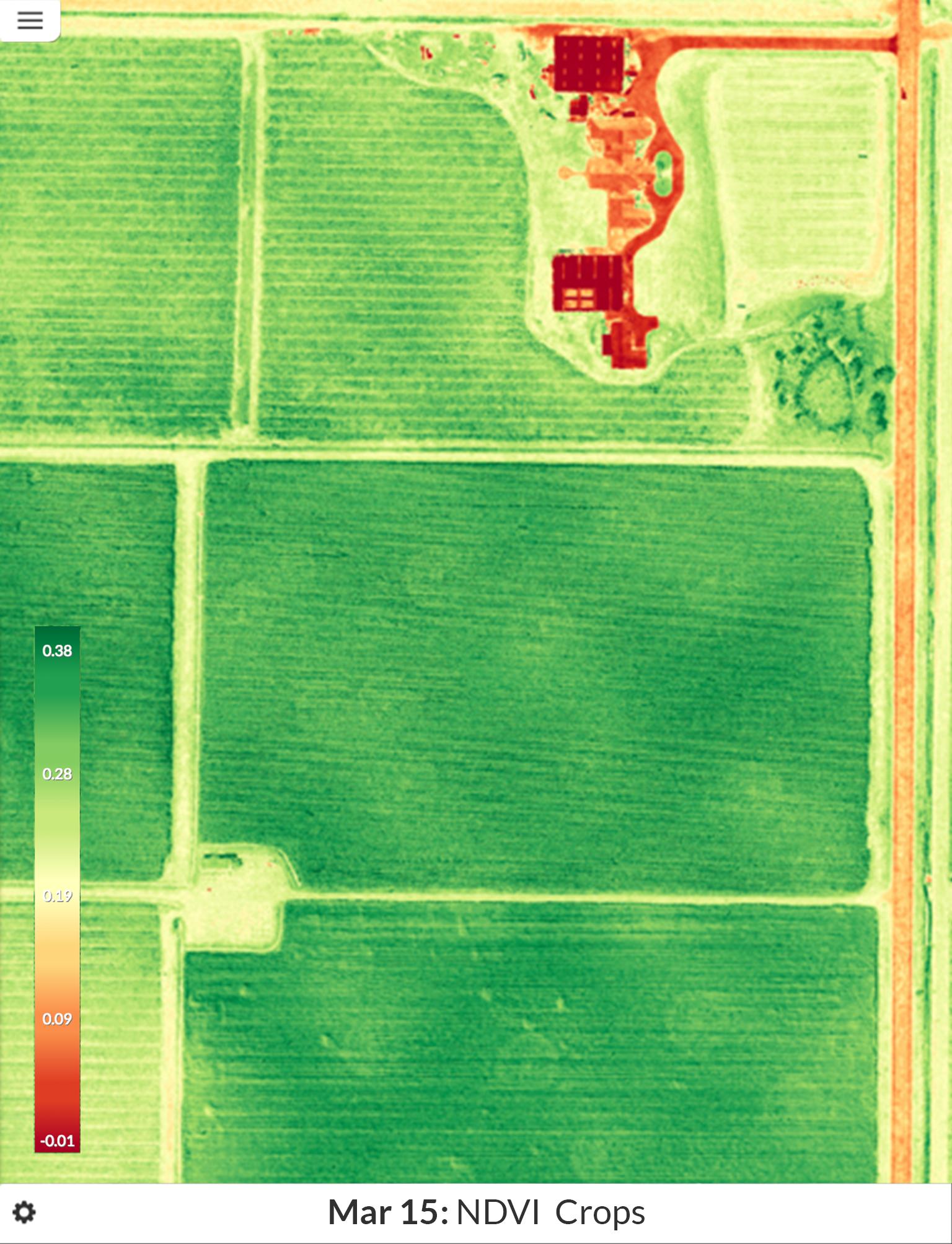
Get a birds-eye view of your fields or site. Detect crop stress, create prescription maps, measure volumes, track changes and more.
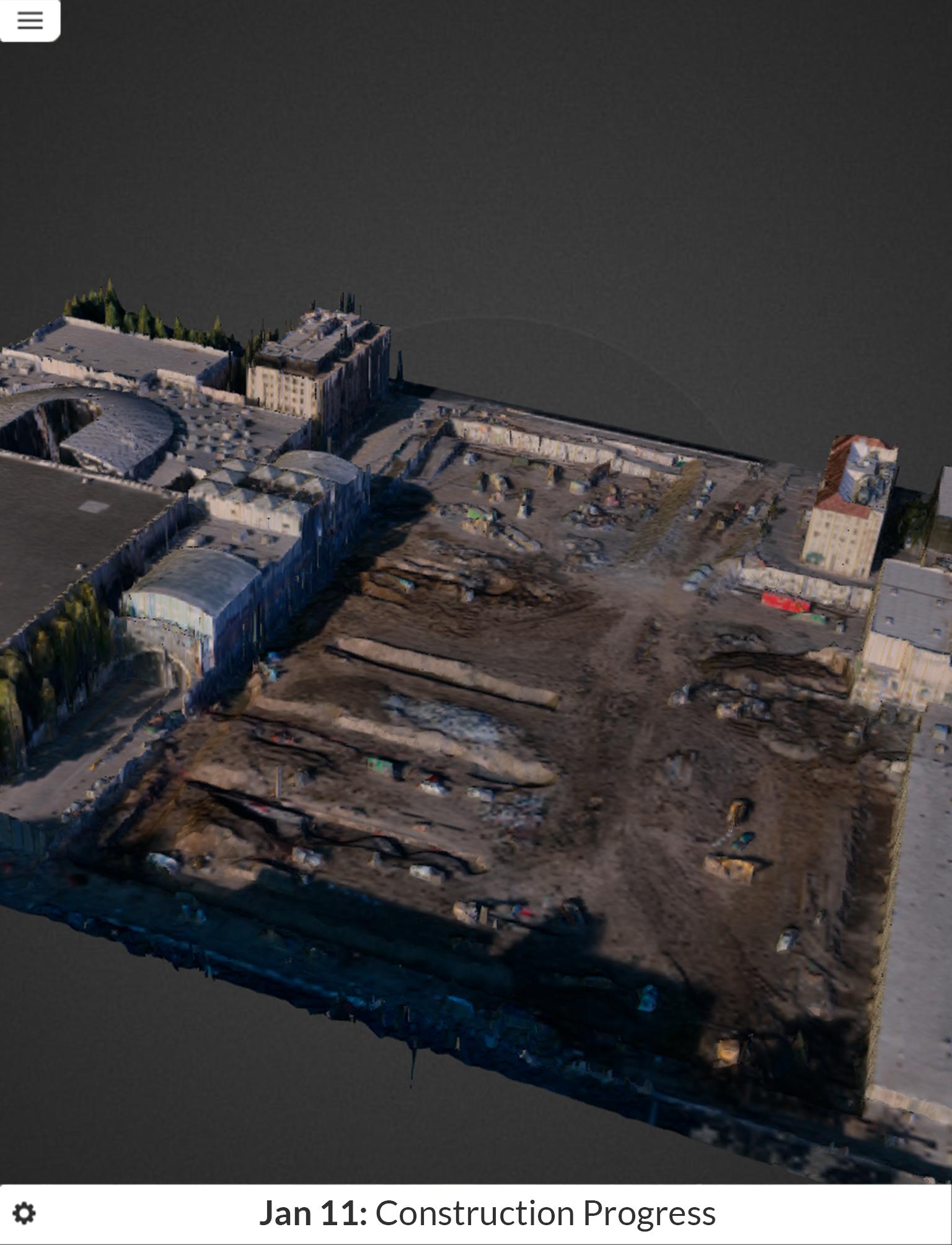
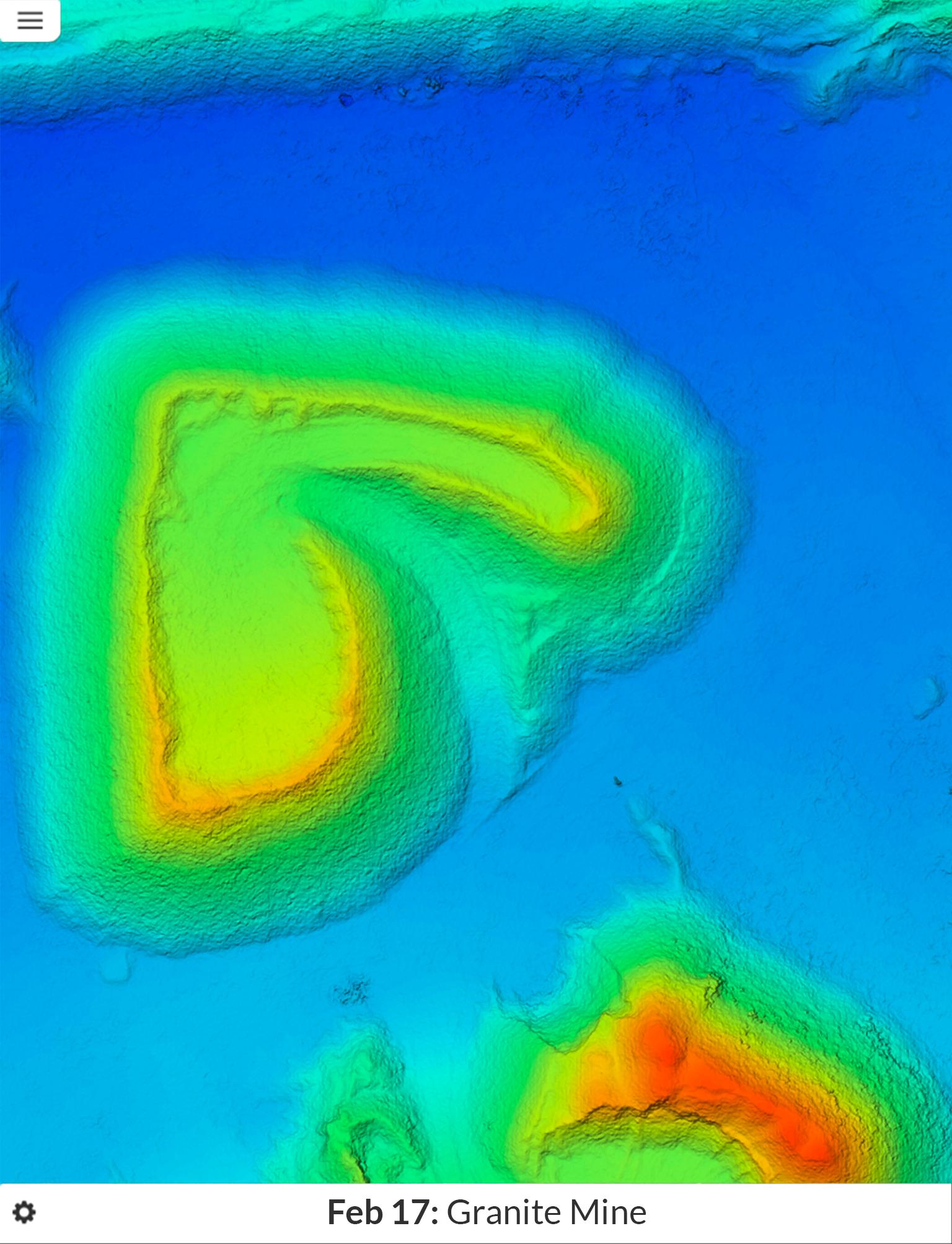
DroneDeploy is a full software solution for drones. Covering flight planning, safety, data processing and data presentation. Enabling simpler, faster aerial data.
Push button Simplicity - Just two buttons to get a drone flying, capturing photos and creating a map, 3D models and Digital Elevation Models.
Real-time mapping - The information you need, while you're in the field. Images are uploaded and processed in the cloud in real time!
High accuracy - high quality maps with cm level precision, and accurately geocoded.
Compatible with DJI, 3DR, AgEagles, and more. Learn more at www.dronedeploy.com
Last updated on Oct 4, 2015
We've seen some of the gigantic maps being made. We've improved the reliability when flying far away and occasionally disconnecting from your Phantom during a mission.
เวอร์ชันล่าสุด
![]() 0.5.5
0.5.5
อัปโหลดโดย
Hemanga Kalita
ต้องใช้ Android
Android 4.2+
Category
รายงาน


Discover what you want easier, faster and safer.

DroneDeploy
Phantom 2 V0.5.5 by DroneDeploy
Oct 4, 2015