Use APKPure App
Get DroneDeploy old version APK for Android
Instant Aerial Data by Drone. One-click aerial maps, 3D models and more.
Play store version currently only supports Phantom 2 Vision+. Please go to http://forum.dronedeploy.com for the Inspire and P3 beta. We will be putting this in the play store in the next week.
** Lollipop support still experimental.
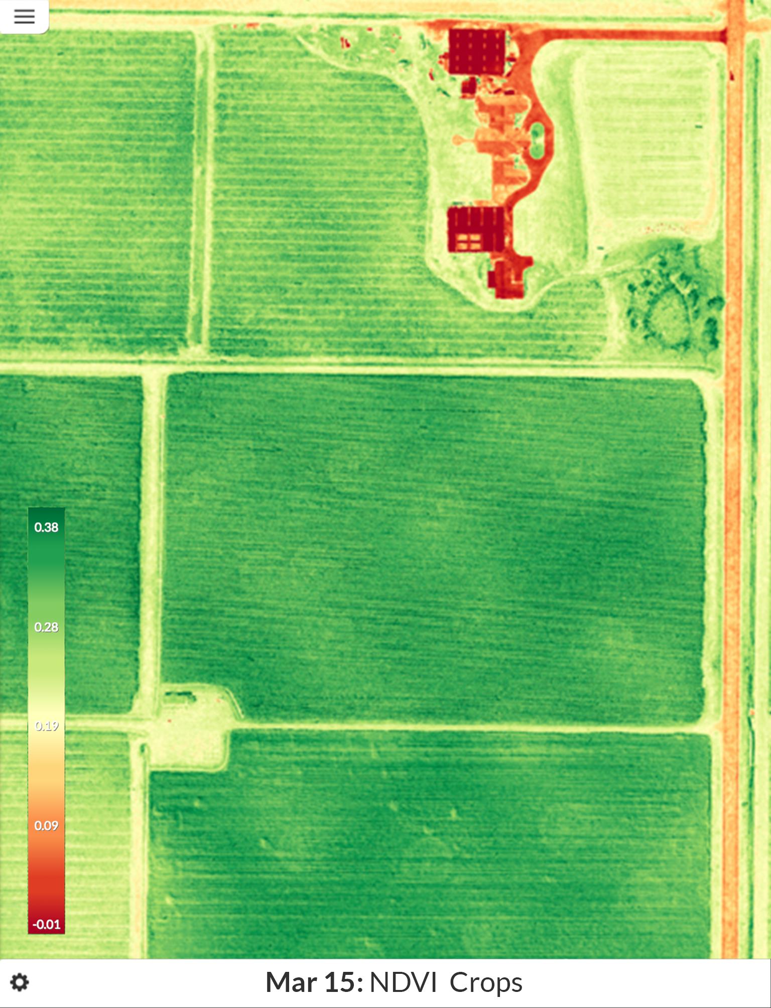
Get a birds-eye view of your fields or site. Detect crop stress, create prescription maps, measure volumes, track changes and more.
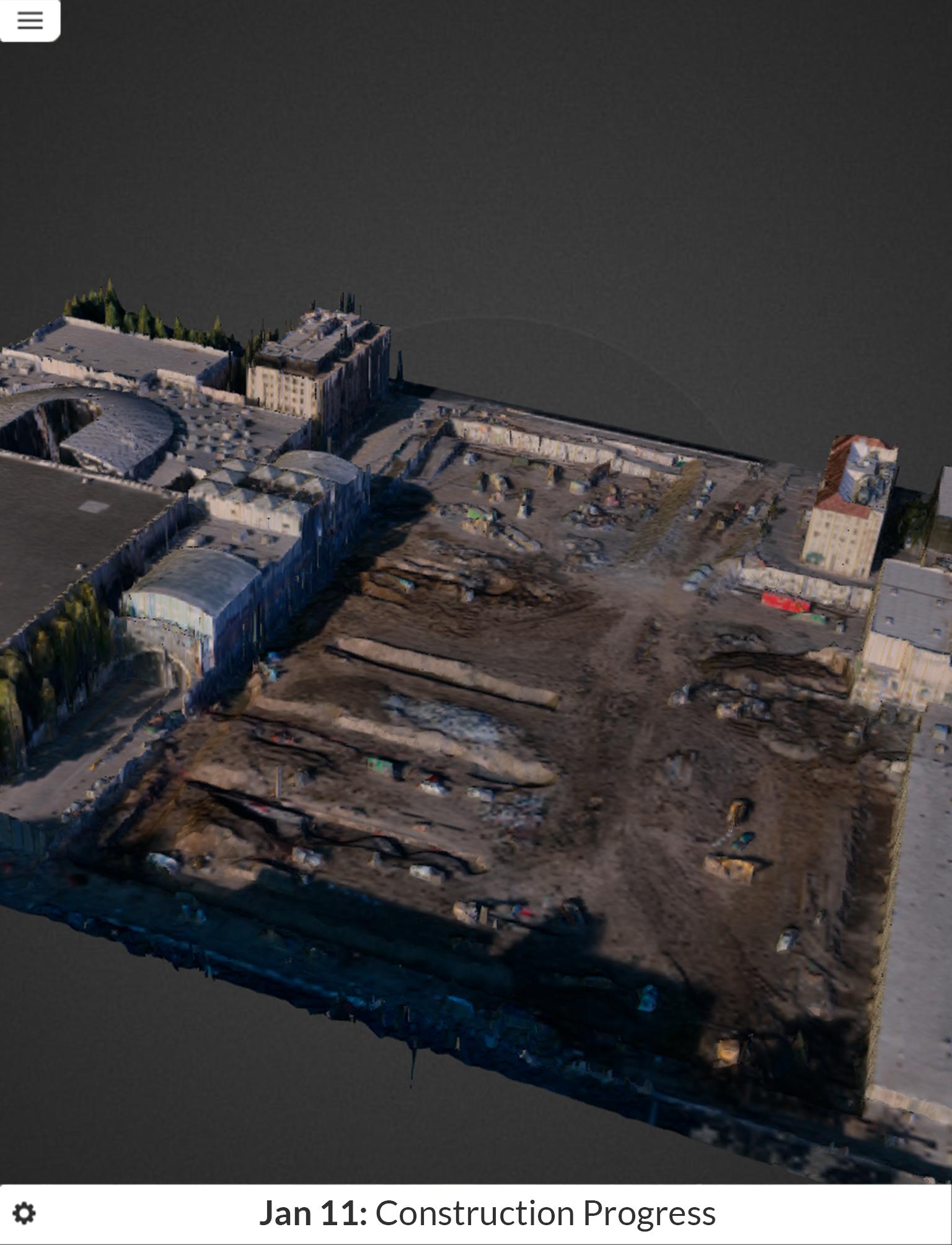
DroneDeploy is a full software solution for drones. Covering flight planning, safety, data processing and data presentation. Enabling simpler, faster aerial data.
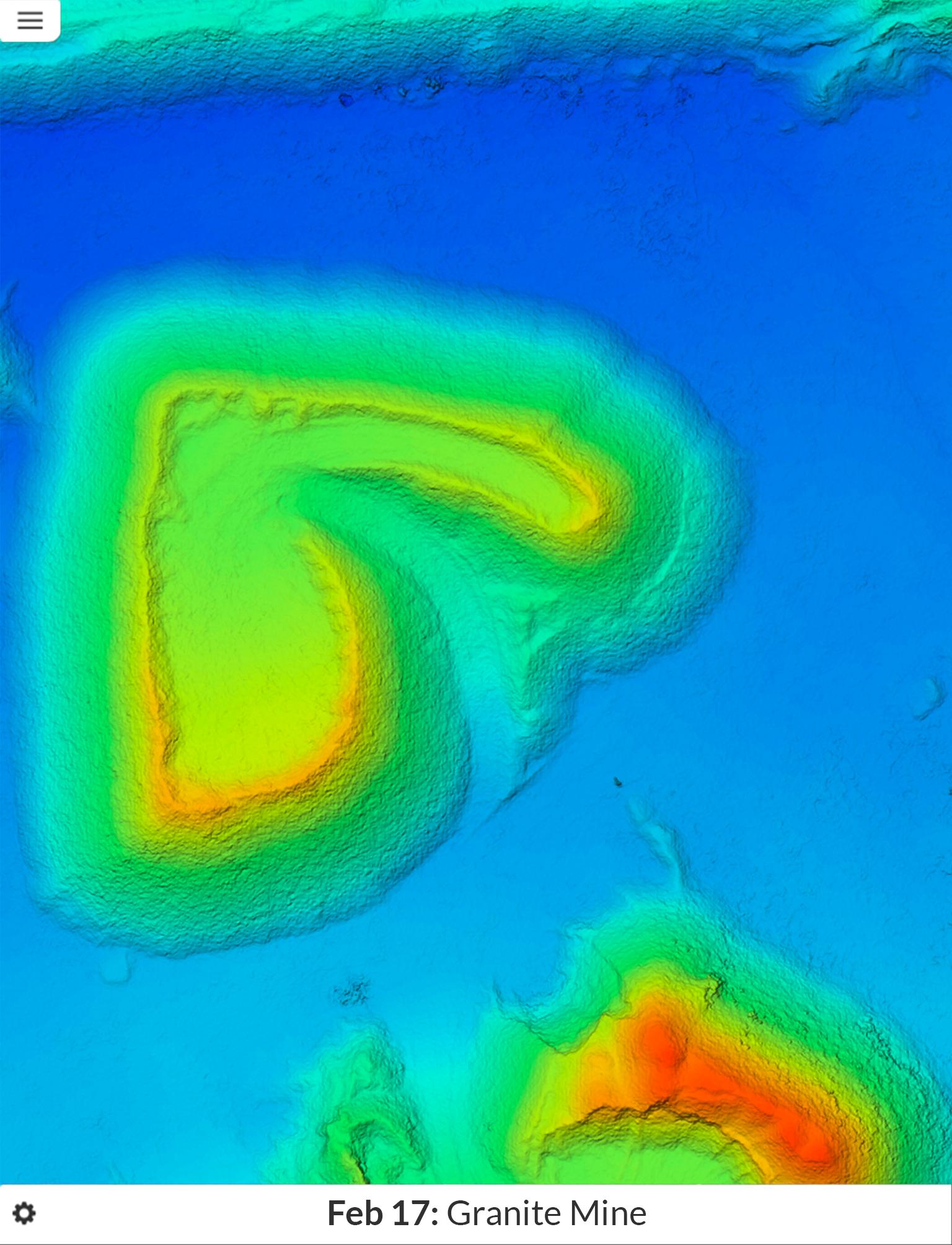
Push button Simplicity - Just two buttons to get a drone flying, capturing photos and creating a map, 3D models and Digital Elevation Models.
Real-time mapping - The information you need, while you're in the field. Images are uploaded and processed in the cloud in real time!
High accuracy - high quality maps with cm level precision, and accurately geocoded.
Compatible with DJI, 3DR, AgEagles, and more. Learn more at www.dronedeploy.com
Last updated on 04/10/2015
We've seen some of the gigantic maps being made. We've improved the reliability when flying far away and occasionally disconnecting from your Phantom during a mission.
احدث اصدار
![]() 0.5.5
0.5.5
محمل
Hemanga Kalita
Android متطلبات النظام
Android 4.2+
الفئة
الإبلاغ


Discover what you want easier, faster and safer.

DroneDeploy
Phantom 2 V0.5.5 by DroneDeploy
04/10/2015