下載 APKPure App
可在安卓獲取GeoTech by WinField的歷史版本
實現總地盤意識整個賽季與土力。
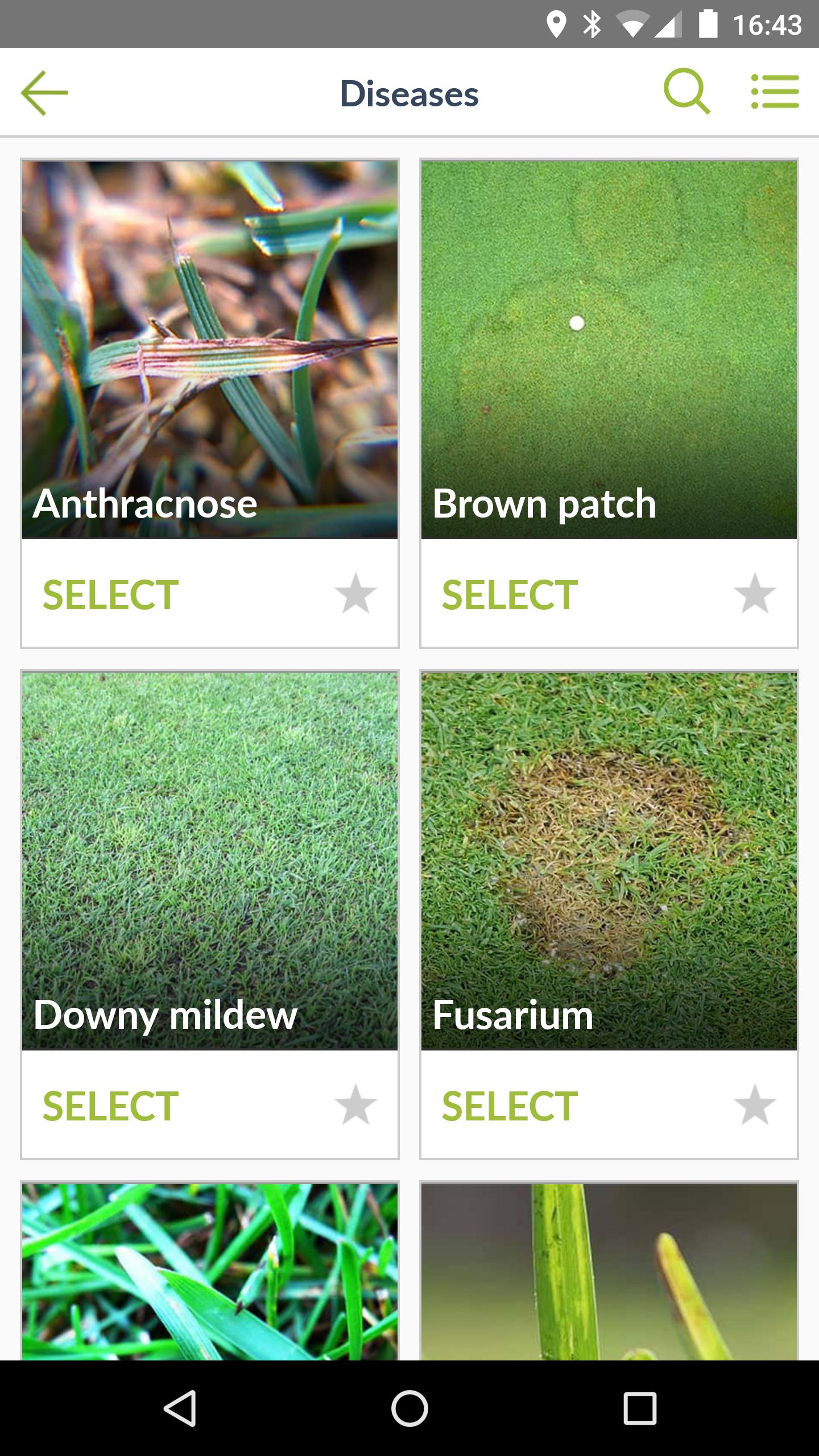
Achieve total site awareness all season long with GeoTech. Take the power of imaging and analytics to the field with automatic issue detection and prioritized alerts delivered to you and your team anytime, anywhere. With our app, you can easily prioritize areas to scout, navigate to any areas at risk, and record scouting observations with just a few clicks. Check in on your high¬ resolution performance imagery and integrated data layers online or offline. Monitor conditions like rainfall and GDDs across your entire operation. Access our large database of issues—from weeds to diseases, insects, and disorders—to record what you're seeing. Take geotagged notes, photos, and voice memos while you’re in the field to review later and share with your team.
Continued use of GPS running in the background can dramatically decrease battery life.
FEATURES:
• Bring timely, actionable high-resolution imagery and map layers with you into the field
• Receive automatic notifications to alert you to potential performance issues
• Seamlessly import and export any and all data for optimal sharing and analysis
• Take geotagged field observations, photos, and voice memos while you're working
• Access all imagery, map layers, and reports online or offline
• Scout with our large database of weeds, diseases, insects, and disorders
• Track rainfall and GDDs across your operation
Last updated on 2017年02月03日
Minor bug fixes and improvements. Install or update to the newest version to check it out!


GeoTech by WinField
1.11.1 by Mavrx Inc
2017年02月03日