Best Secure Virtual Perimeter Alternatives for Android
Discover the best apps like Secure Virtual Perimeter by Viettel Cyber Security. Curated by the APKPure Editorial Team and based on app features, usability, and user feedback, these recommendations ensure reliable performance and great user experience. Explore the best alternatives to Secure Virtual Perimeter and find the perfect app for your everyday needs.
-
0 Reviews13.6 MBSizeAug 17, 2021Update Date
 GPS and Map based field's surveys - Mobile GIS, Data Collection and Measurements
-
Measure distance and area using map or GPS - share your results the easy way…
-
Measure area, perimeter and distance using GPS, GNSS or RTK signal.
-
0 Reviews3.1 MBSizeOct 31, 2026Update Date
Measure land area and distance on a map, in acres, hectares or local units.
-
0 Reviews5.4 MBSizeSep 14, 2024Update Date
Land Surveying, Surveyor Program, Reference Line, Circular Curve, Spiral Curve
-
Logs raw GNSS measurement data of your Android device to RINEX files.
-
Tools for Simple GIS, Mapping and Surveying tasks.
-
Measuring area of land, farm, field, home, distance, and length on the map.
-
0 Reviews8.0 MBSizeAug 26, 2024Update Date
Gps field measurement, draw path around specific boundary as your expectation
-
Mobile GIS for field data collection and editing.
-
0 Reviews55.6 MBSizeSep 11, 2026Update Date
A GIS tool developed by ITACyL to support fieldwork
-
For RF engineer or Ham
-
Use your phone to measure, map and survey land. Simple and accurate GPS surveys.
-
0 Reviews233.4 MBSizeOct 20, 2026Update Date
Climate FieldView™ helps you optimize resources and maximize yield
-
Augmented Reality (AR) and AI for Utilities
-
0 Reviews13.9 MBSizeJun 6, 2024Update Date
Leading tool for land survey, fields area measure, perimeter, distance with GPS
-
An Indoor Mapping System to Enable, Engage, and Empower Your Workplace
-
Simple tool to get RTK corrected coordinates into Mapit and log RAW GNSS data.
-
Mobile mapping, data collection and maps for professionals and enthusiasts.
-
14Q-Principles to improve the quality in the value stream.

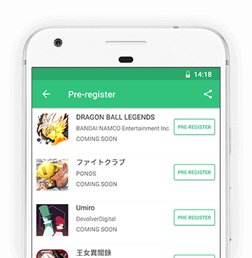
Pre-register
By clicking the Pre-register button you're about to pre-register for upcoming apps on APKPure Mobile App Store. Pre-registering means that you will receive a notification on your device when the app is released.