Best Vehicle Device Mapping Alternatives for Android
Discover the best apps like Vehicle Device Mapping by Trimble Inc.. Curated by the APKPure Editorial Team and based on app features, usability, and user feedback, these recommendations ensure reliable performance and great user experience. Explore the best alternatives to Vehicle Device Mapping and find the perfect app for your everyday needs.
-
 Survey and digitize data in the field with seamless synchronization
-
Construction Management
-
0 Reviews1.2 MBSizeMay 12, 2026Update Date
viewer for CAD drawings in formats DWG/DXF
-
Leica DISTO™ Plan - clever measurement documentation
-
0 Reviews13.6 MBSizeAug 17, 2021Update Date
GPS and Map based field's surveys - Mobile GIS, Data Collection and Measurements
-
Surveying and navigation using Points, Paths and Areas (KML, GPX, CSV exports)
-
Measure Areas and Perimeters over Maps with professional accuracy.
-
2 Reviews6.1 MBSizeJan 21, 2022Update Date
biiCADo Touch Free – Professional 2D CAD app for creating DXF drawings
-
Measure distance and area using map or GPS - share your results the easy way…
-
Trimble Connect, a collaboration platform, has an easy to use IFC/BIM 3D viewer.
-
Supervision, punch list, snagging, registration, checklists, Revit BIM. On site!
-
1 Reviews59.8 MBSizeSep 17, 2026Update Date
Straightforward Aeronautical Charts for flight planning and navigation.
-
Add annotations on images.
-
0 Reviews68.0 MBSizeOct 22, 2026Update Date
GPS field surveying tool for GNSS receivers
-
Backcountry mapping evolved
-
Construction, Insurance & more
-
0 Reviews188.9 MBSizeMar 6, 2026Update Date
The Simrad companion app. Great nautical charts for boating and cruising.
-
Scan a floor plan in 5 minutes. Receive a 2D, a 3D floor plan or a video render.
-
Configuration app for Trimble and Spectra Geospatial GNSS receivers and licenses
-
ScorchCAD is a programmers 3D modeling CAD program for android devices.

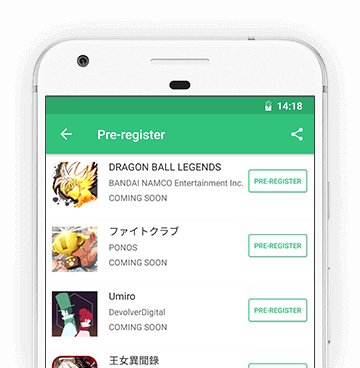
Pre-register
By clicking the Pre-register button you're about to pre-register for upcoming apps on APKPure Mobile App Store. Pre-registering means that you will receive a notification on your device when the app is released.