



Oписание Map Distance Meter
Карта Измеритель расстояния позволяет измерить расстояние или площадь на карте.
This application allows you to measure the length of a path on the map. You can also measure the size of an area on the map.
Measure distance:
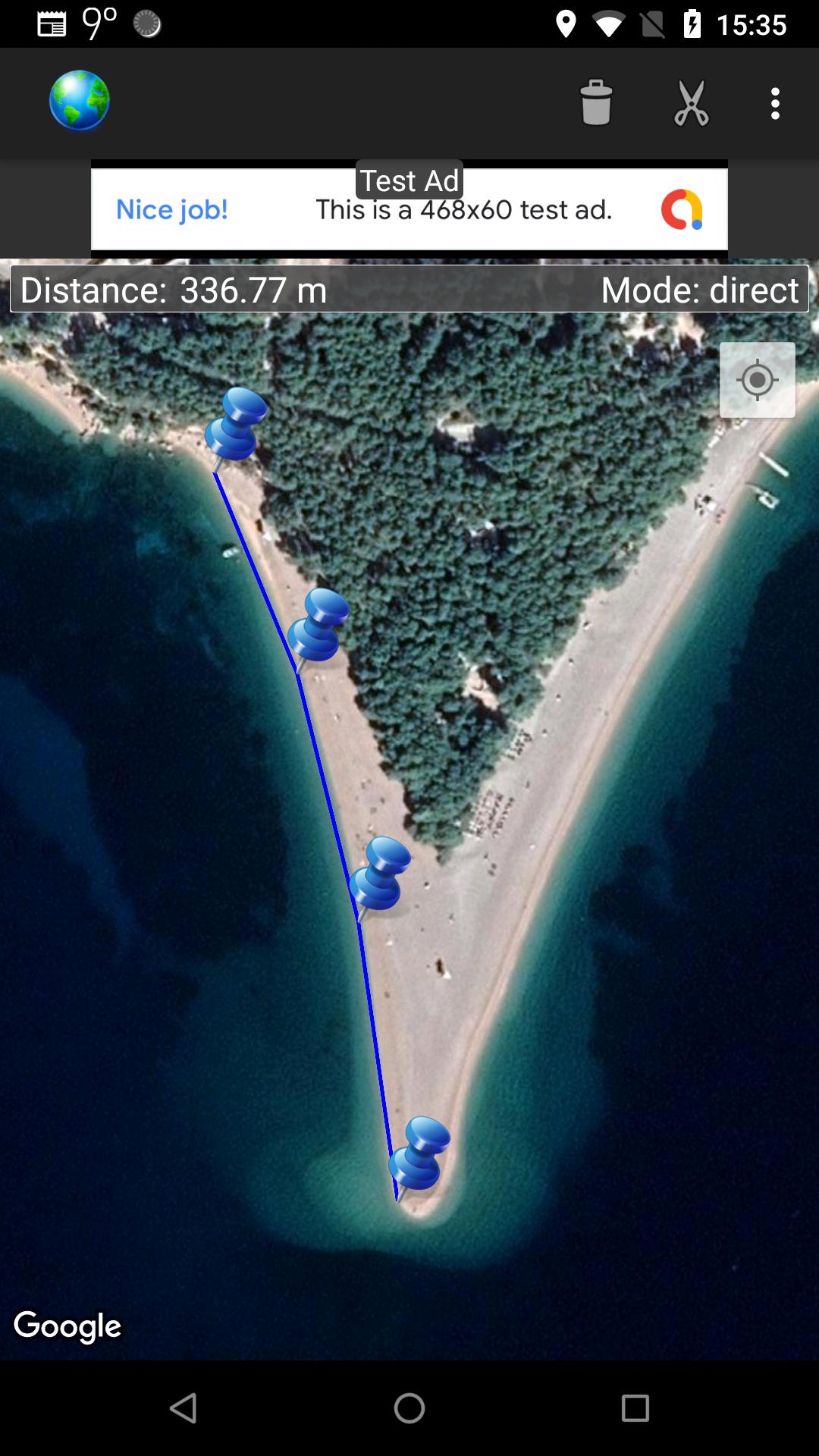
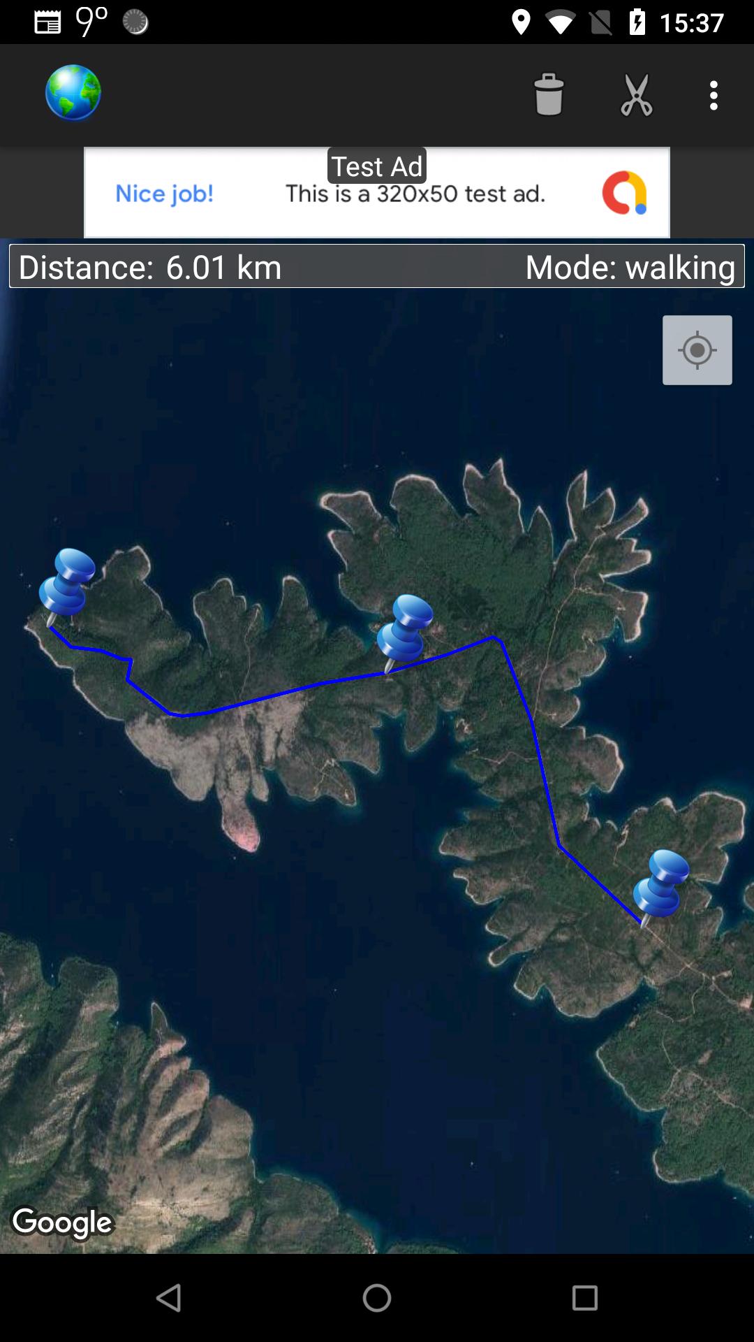
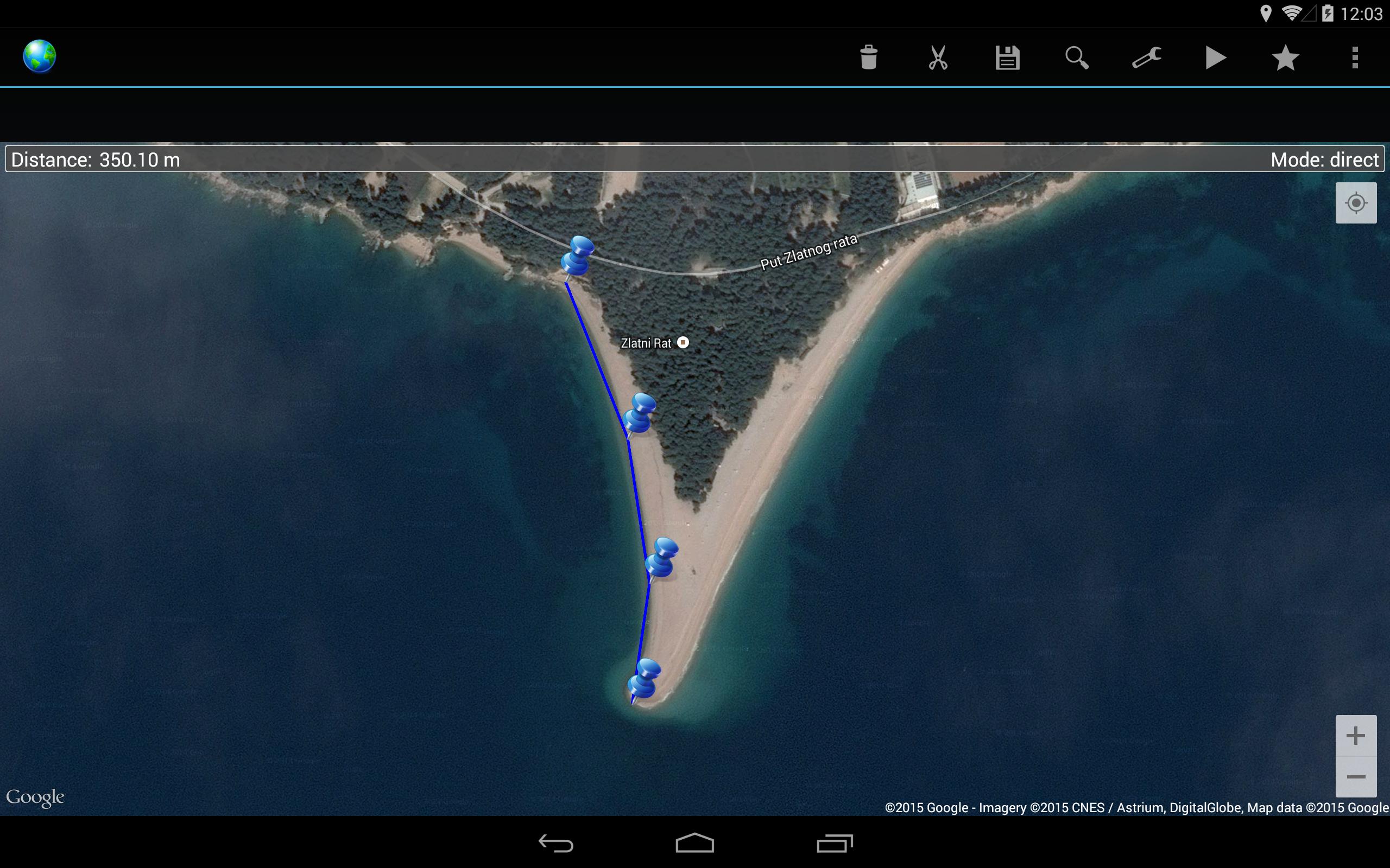
Create the path by tapping the map. Different modes of path creating are available: direct, driving, walking and bicycling. Direct mode draws straight lines between points. Driving, walking and bicycling modes are able to find and follow roads between points. Driving mode finds routes using the roads network. Walking mode uses pedestrian paths and sidewalks (where available). Bicycle mode uses bicycle tracks and preferred streets (this is currently available only in US). Distance between first and last point is shown on the top of the screen.
Measure area:
On preferences screen, choose Area in Measure Distance or Area. Create the area by tapping the map. Size of an area and the perimeter are shown on the top of the screen.
It is possible to get your current location. It is also possible to save and load routes and to export routes in GPX format.
Internet access is required. Choose between metric and imperial distance units.
Use this application only for informational purposes. Do not use it for making important decisions.
Please report bugs if found. Improvement suggestions are welcome.
Дополнительная информация о Приложения
Последняя версия
3.3Загрузил
حمزه العرباوي
Требуемая версия Android
Android 5.0+
Возрастные ограничения
Everyone
Жаловаться
Сообщить о неприемлемом содержанииЧто нового в последней версии 3.3
Last updated on 10/02/2022
Fixed few bugs.
Map Distance Meter Скриншоты



Старые Версии Map Distance Meter
Все Версии
Связанные маркеры
















Оставить отзыв о Map Distance Meter
Добавить Отзывы