Use APKPure App
Get Mapas de España old version APK for Android
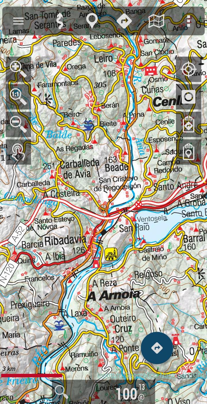
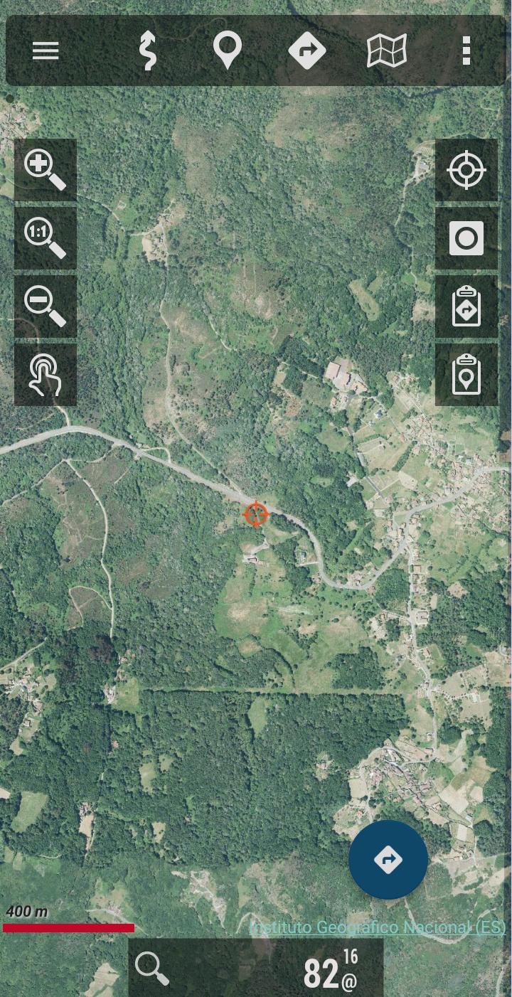
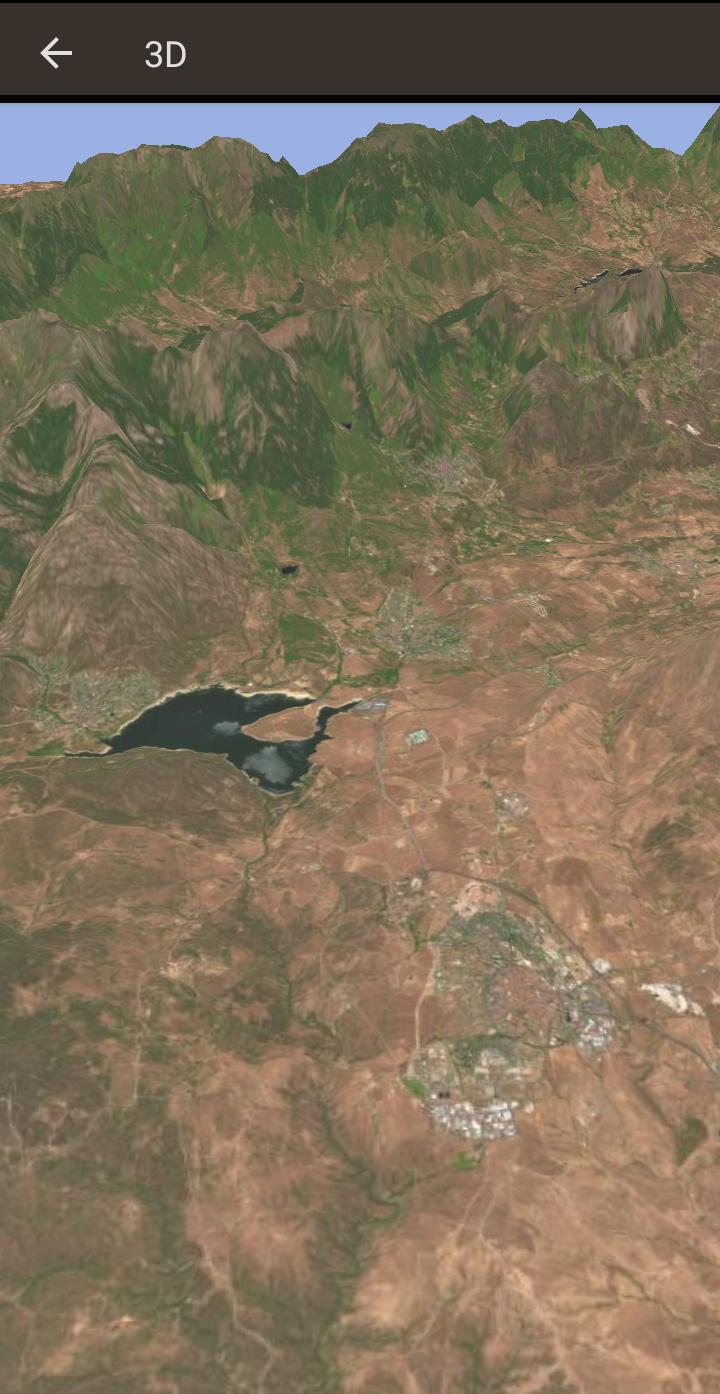
Ideal for hiking, biking display, running or skiing, etc
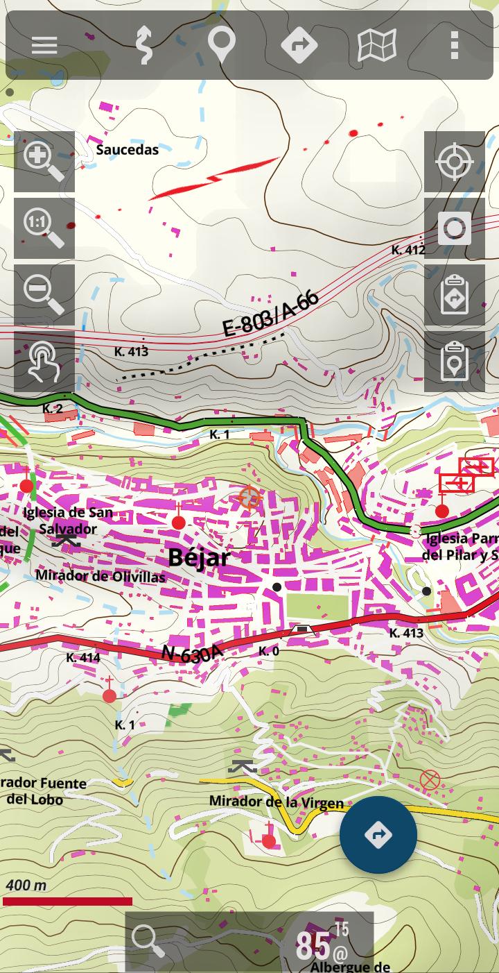
Free viewer ideal for hiking, cycling, running or skiing, which uses as background cartography the services of the National Geographic Institute and another set of services from other Ministries, such as the Cadastral information of the plots provided by the General Directorate of Cadastre.
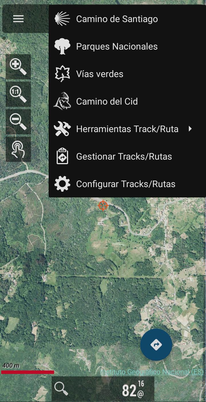
With this application you can travel the routes of the National Parks or the stages of the Camino de Santiago or use your TRACKS/ROUTES, plan excursions using maps, navigation and guided tours, without having to have an internet connection.
All maps and routes used are free and allow you to:
- GPS location, even without mobile coverage
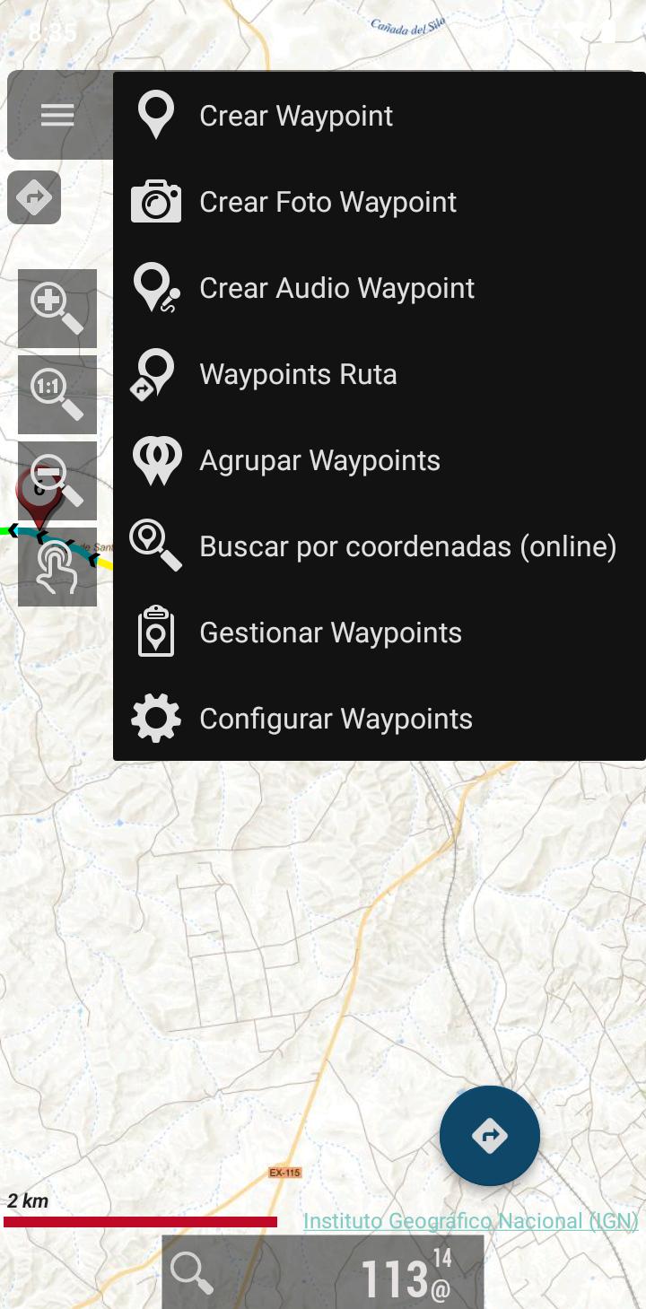
- Offline map mode*: save them in advance
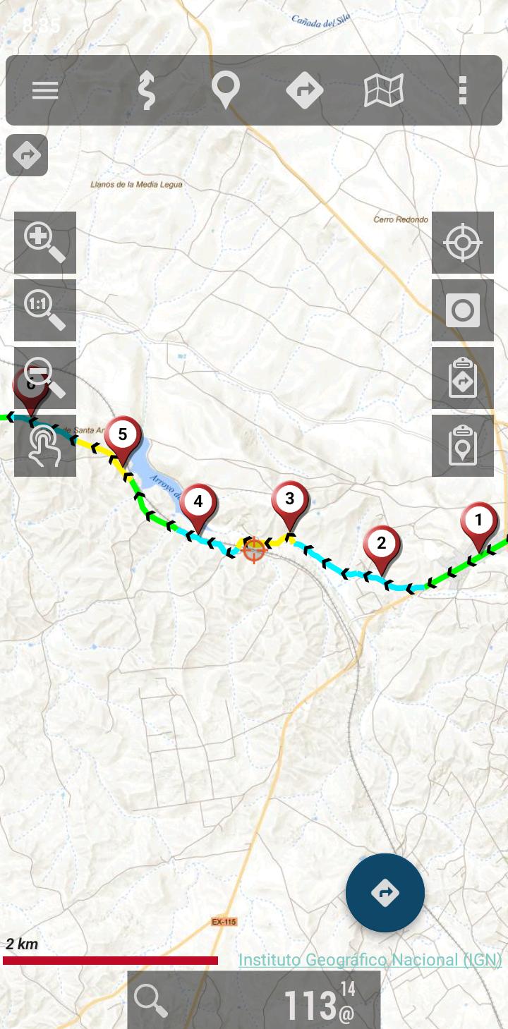
- Trace routes (Tracks) with GPS on the maps of the National Geographic Institute.
- Save and view tracks in gpx or kml and kmz format.
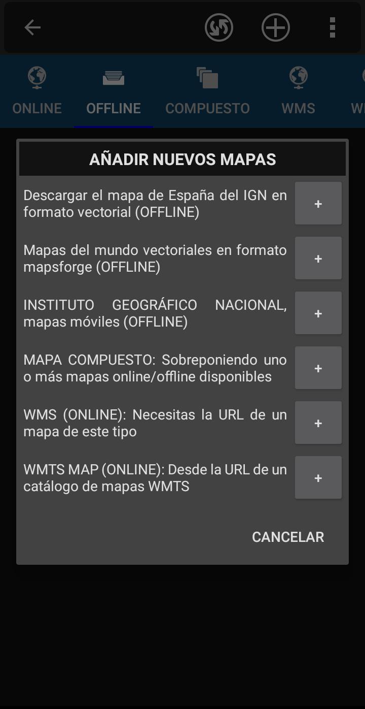
- Supports IGN's WMS and WMTS map services, you can use the application as a WMS viewer
- Use the services of the CartoCiudad project to locate places
- Positioning visualization using coordinates, heading, speed, altitude. Distance calculation
- The application is available in Spanish, Catalan, Galician, Basque and English.
- Based on OruxMaps software.
Maps of Spain is used as a GIS tool, comes from a Spanish government department (https://www.ign.es/web/ign/portal) and is used by professionals of various types, including workers of the Spanish State (police, forest guards, firefighters...)
It is common to have the catalog of maps of Spain in internal storage. For example, databases, in mbtiles format:
https://centrodedescargas.cnig.es/CentroDescargas/loadMapMov.do
It is not possible to move all that information to the private storage of each app that wants to use that data (we are talking about tens or hundreds of gigabytes). And from public storage, using the Android file access system, direct and random access to files is not allowed, which is required by the app to access databases or binary map formats.
Without this permission, professional and non-professional users who regularly use the app as a GIS will not be able to continue using the app as needed.
Identification Number of Official Publications (NIPO): 162190330
Last updated on May 7, 2024
Nuevo mapa online: Sombras en RGB de IGN.
Actualización en las URL de mapas online.
Actualización de la función de grabación del estado de red en un track.
Corrección de errores.
Latest Version
![]() 3.5.1
3.5.1
Uploaded by
Ian José
Requires Android
Android 5.0+
Available on
![]()
Category
Report
Discover what you want easier, faster and safer.

Mapas de España
3.5.1 by Centro Nacional de Información Geográfica - CNIG
May 7, 2024