Use APKPure App
Get Kwale Health Map old version APK for Android
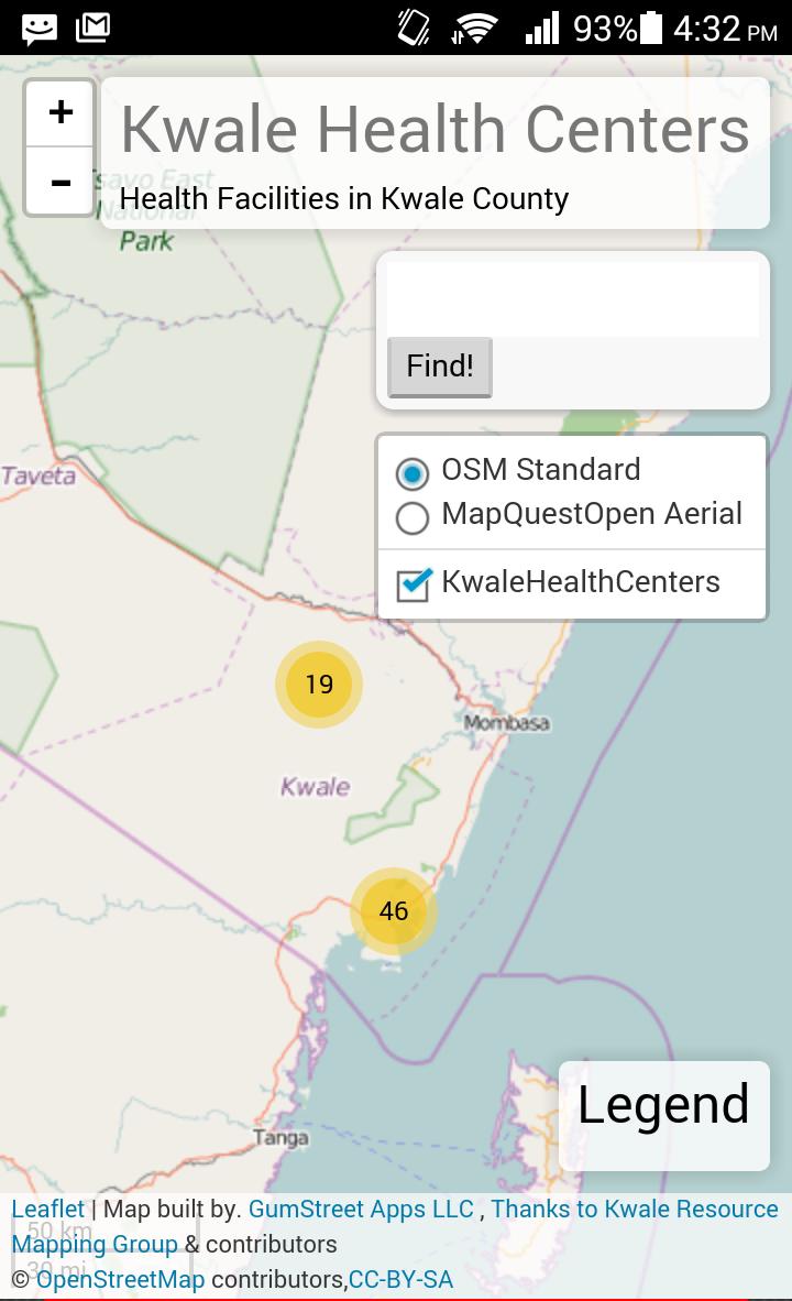
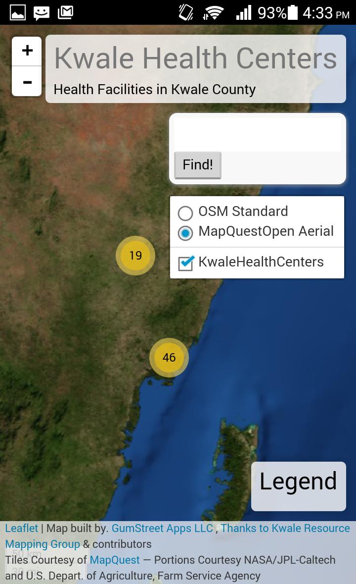
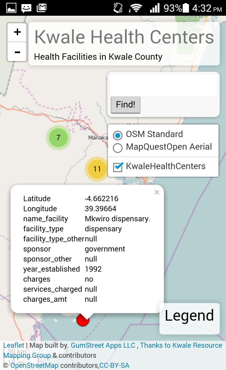
A powerful location map app showing details of hospitals in Kwale county, KE.
This is a simple yet powerful GIS mobile web application showing detailed information about the location of health facilities in Kwale county, Kenya. The app is powered by data that was collected by Kwale Resource Mapping Group courtesy of DRSRS and other partners.Last updated on Oct 13, 2016
Minor bug fixes and improvements. Install or update to the newest version to check it out!
Latest Version
![]() 1.1.6
1.1.6
Uploaded by
Jorge Henrique
Requires Android
Android 4.0+
Category
Report
Discover what you want easier, faster and safer.

Kwale Health Map
1.1.6 by Geo.Appsmith
Oct 13, 2016