Use APKPure App
Get Queensland Fire Ant Risk Area old version APK for Android
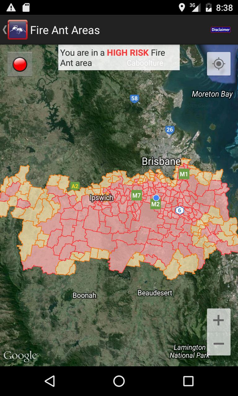
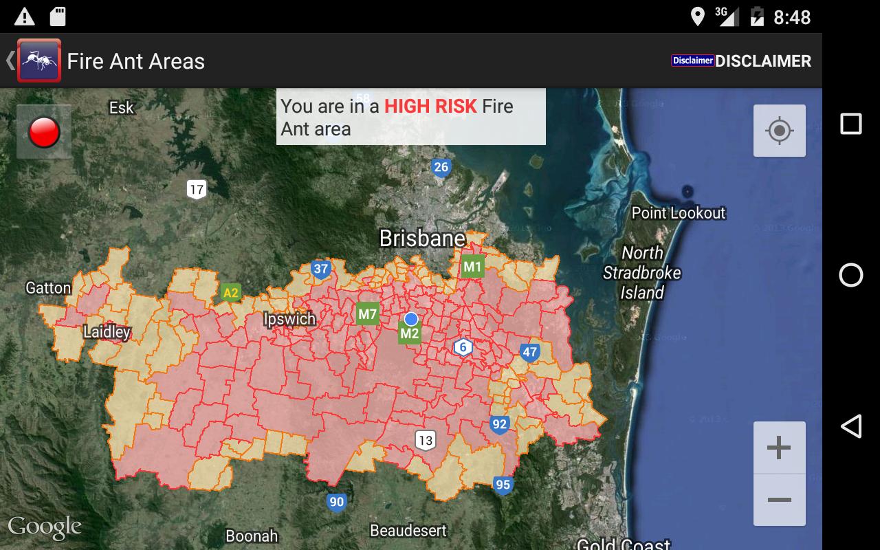
Queensland Fire Ant Risk Areas Indicator & Maps QLD to determine the risk level
Queensland Fire Ant Risk Areas Indicator & Maps, will determine the risk level to meet Queensland Government requirements.
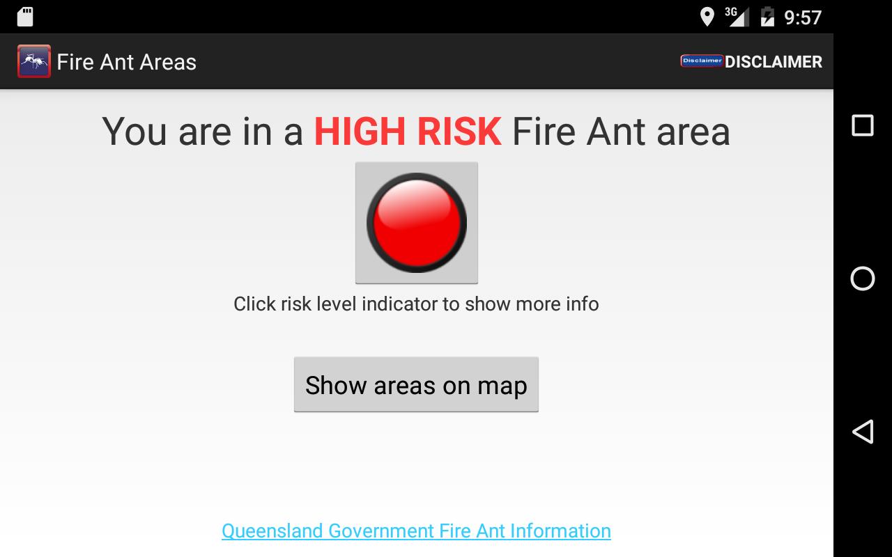
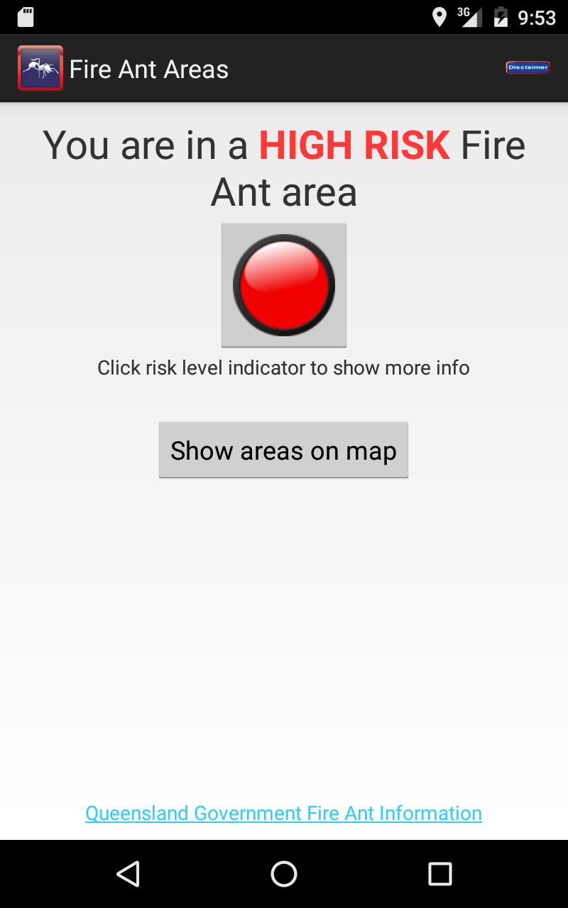
On opening the phones location is determined by Mobile data and GPS to locate the smart phone or tablet and the risk level is shown as a coloured button, if you need to know what other areas are covered you can use the show areas on map button to show all of the risk areas which are determined by suburb.
Fire ants have the potential to cause extensive environmental and economic damage and affect our way of life.
Movement controls are used to stop the spread of these destructive and dangerous pest ants.
High and low risk restricted areas have been established in south east Queensland.
The penalties of moving soil or plants can be quite severe this application should help you identify your location and risk status as part of your Approved Risk Management Plan.
Last updated on Mar 1, 2016
Minor bug fixes and improvements. Install or update to the newest version to check it out!
Versi Terbaru
![]() 4.1
4.1
Perlu Android versi
2.3 and up
Kategori
Laporkan


Discover what you want easier, faster and safer.

Queensland Fire Ant Risk Area
4.1 by Locate by App Pty Ltd
Mar 1, 2016