Use APKPure App
Get EasyTopoV2 old version APK for Android
Topographic calculation using a Smartphone.
It is a tool that helps Civil, architects and surveyors in measuring land using the GPS satellite system that is integrated into most smartphones, this measurement can share a file format Excel, Autocad, Google Earth with their shifts in length, displacement "x" axis shift "and" coordinate and azimuth respective points.Last updated on Aug 16, 2016
Pantalla de configuración.
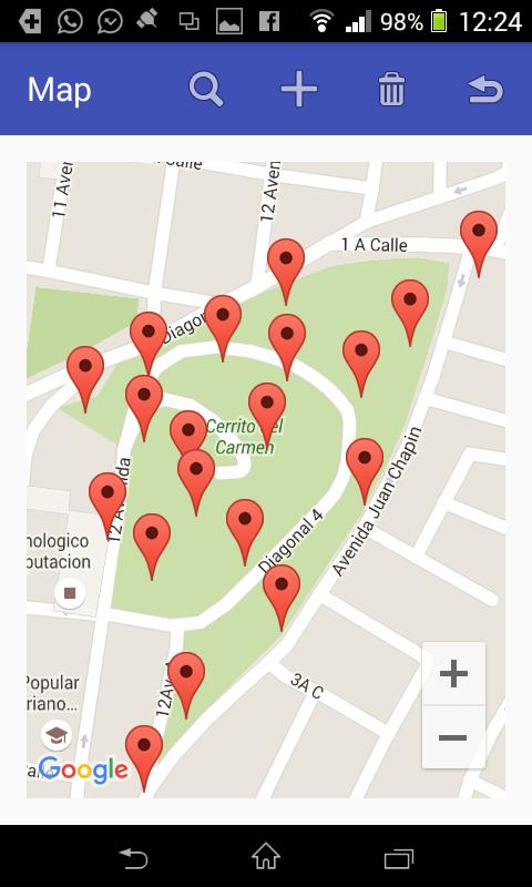
Medición de lineas y puntos topográficos.
Comparte archivo en formato de Autocad, GoogleEarth.
Latest Version
![]() 3.3
3.3
Uploaded by
Abd Alaziz Alsappoh
Requires Android
Android 2.3.4+
Available on
![]()
Category
Report


Discover what you want easier, faster and safer.

EasyTopoV2
3.3 by Ronaldo Echeverría Bardales
May 29, 2019