Use APKPure App
Get Bangkok Transit Guide old version APK for Android
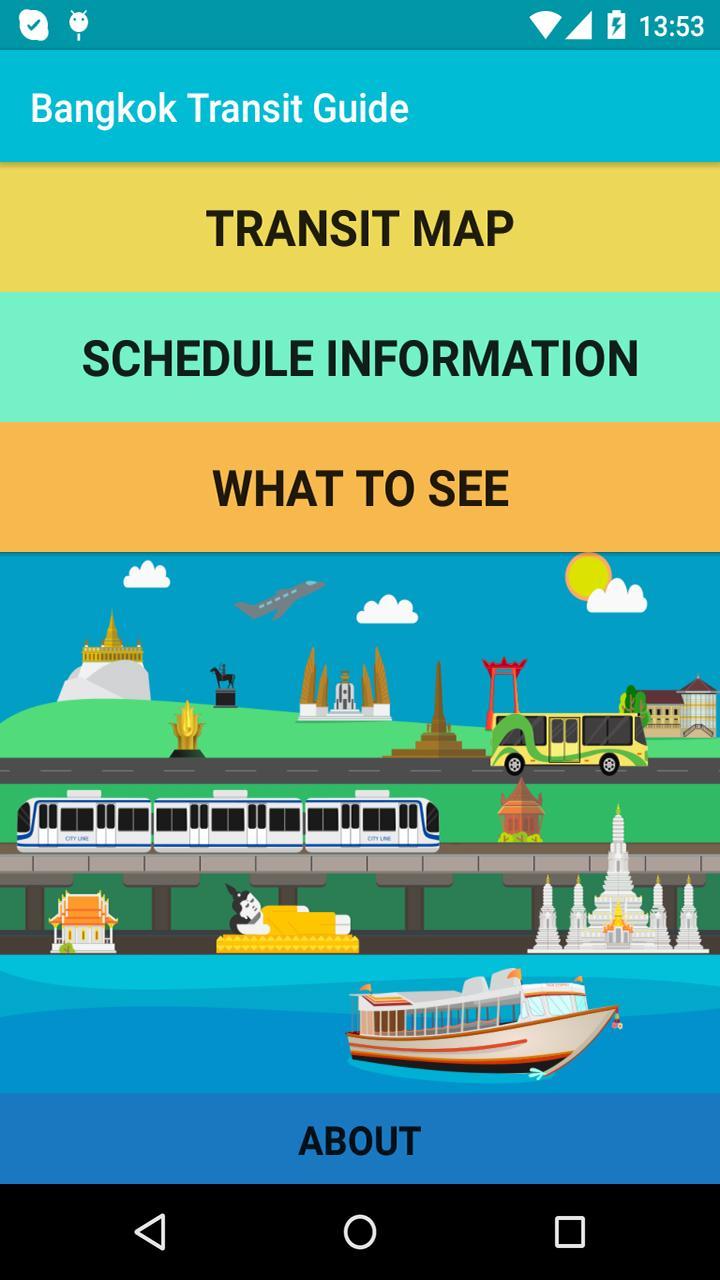
Bangkok transit map with schedules and nearby attractions for each route.
The Bangkok Transit Guide is a convenient, richly illustrated, and informative public transit guide for the vibrant city of Bangkok. Excellent for sightseeing or just getting around!
Features include:
- Fully illustrated transit map detailing stops and nearby attractions for every public transit line in Bangkok. That includes BTS, MRT, BRT, Airport Rail Link, State Railway lines within Bangkok, the Chao Phraya River Express boats, and the Saen Sap Canal boats.
- Sites of interest are easily identified by hand-drawn vector art icons and labels in a map with numerous zoom levels.
- Schedules and timetables for all of the public transit routes in Bangkok (BTS, MRT, Saen Sap Canal, etc.).
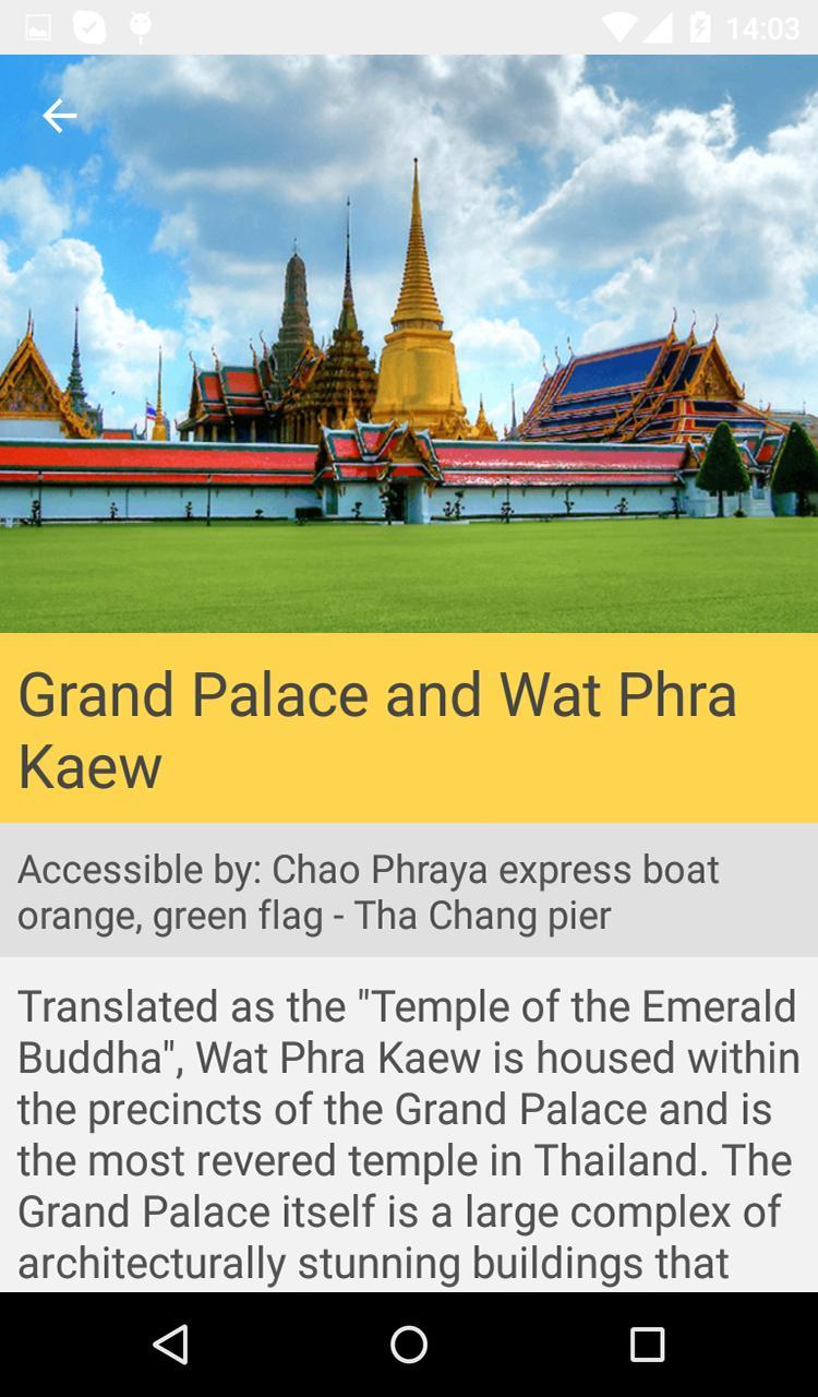
- An expansive sightseeing section split into 8 categories: Temples, Museums, Shopping & Entertainment, Parks & Zoos, Markets, Historical Sites & Monuments, Cultural Centers, and Sports.
- Each section is accompanied by full color pictures, detailed descriptions, hours of operation, instructions on which public transit route to use, and web links where applicable.
Last updated on Nov 17, 2018
Updated to reflect the closure of the Dusit Zoo and Dusit Golf Club.
Latest Version
![]() 1.1.5
1.1.5
Uploaded by
Dani GR
Requires Android
Android 4.0.3+
Category
Report


Discover what you want easier, faster and safer.

Bangkok Transit Guide
1.1.5 by OutWays
Nov 17, 2018