Use APKPure App
Get Ballylongford Snaps old version APK for Android
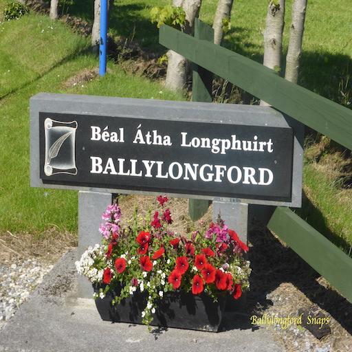
Ballylongford Snaps App, information about Ballylongford, Co.Kerry, Ireland
The Village of Ballylongford is located on the north coast of Co.Kerry on the Wild Atlantic Way. It is situated at the top of an inlet of Ballylongford Bay on the tidal estuary of the River Shannon. It is on the coast road R551 between Tarbert and Ballybunion.
The Ballylongford Heritage Trail consist of two Trails which will introduce you to sites of interest in the village of Ballylongford and the surrounding locality. Carrigafoyle Castle, Ballylongford, Co.Kerry. Lislaughtin Abbey, Ballylongford, Co.Kerry, The Battery on Carrig Island, Ballylongford, Co.Kerry etc.
Ballylongford village as you see it today took shape in the late 18th century. However, this part of North Kerry was settled at a much earlier date as it incorporates the ancestral lands of the O’Connor (Uí Chonchobhair) Clan, a powerful Gaelic family who reigned over vast areas of North Kerry until their final demise in the Cromwellian wars of the mid-17th century.
Last updated on Feb 25, 2021
Minor bug fixes and improvements. Install or update to the newest version to check it out!
Latest Version
![]() 1.0
1.0
Uploaded by
Salman Qureshi
Requires Android
Android 4.4+
Available on
![]()
Category
Report


Discover what you want easier, faster and safer.

Ballylongford Snaps
1.0 by Helen Ballylongford
Feb 25, 2021