Use APKPure App
Get DroneMagic old version APK for Android
Works with DJI Drones to easily create and automate photo or video flight plans
The DroneMagic Autonomous Flight Solution
https://www.youtube.com/channel/UCc0jPPUJCDjViXmzQxK54uA/
DroneMagic is an innovative and comprehensive autonomous drone operating application to support unmanned aerial vehicle (UAV) drone missions using DJI commercial drones including the Mavic, Phantom, Inspire and Matrice series. Each flight includes tools for planning, mission-based flight, data capture and post-flight analysis. DroneMagic is ideal for commercial implementations for roof inspections, real estate, agriculture, golf courses and more.
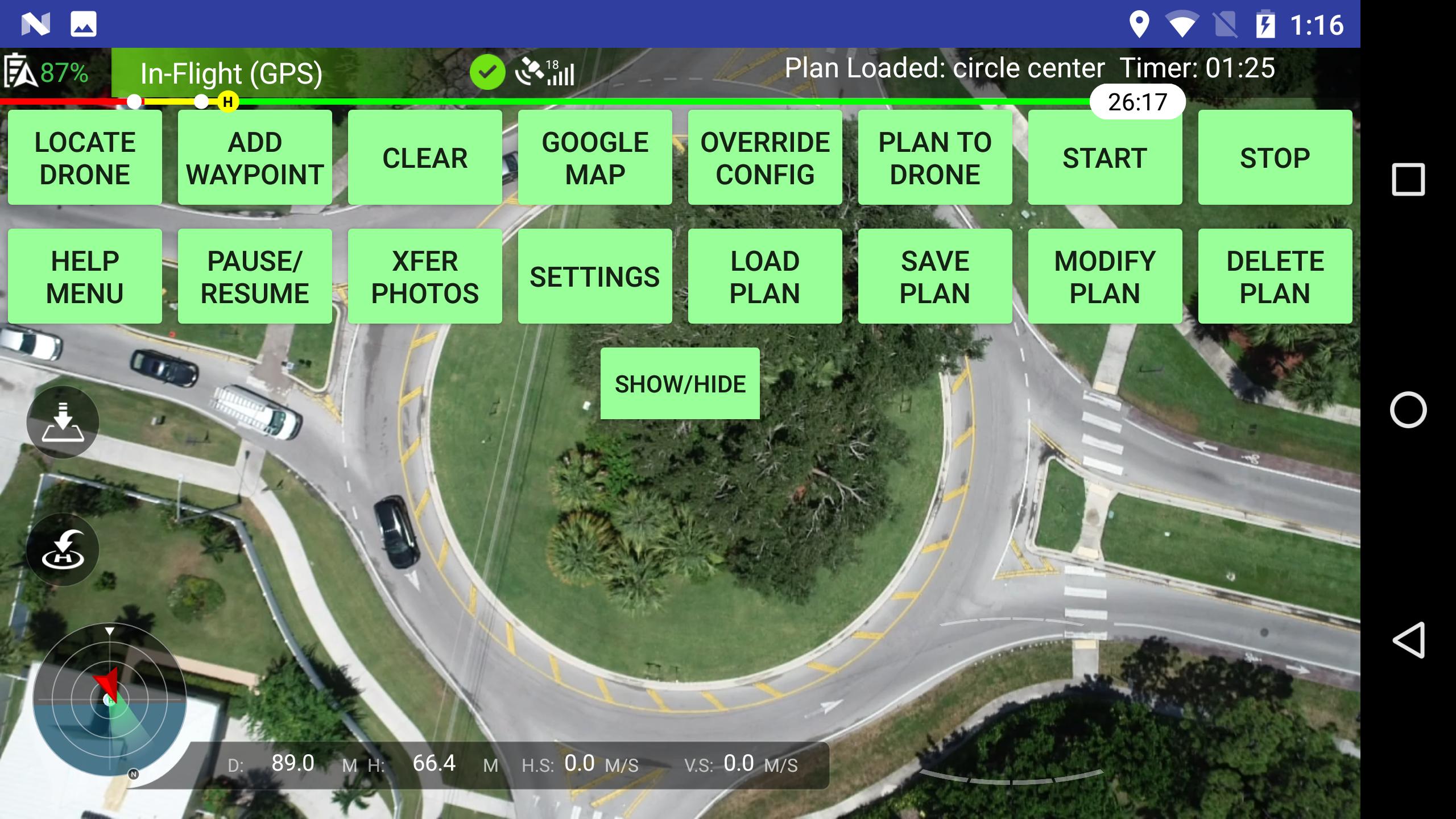
The software’s intuitive Android-based Google Maps interface is used to easily and quickly create single, multi-point and orthomosaic mapping mission plans. The DroneMagic App includes four (4) mission operating modes:
1. Waypoint Missions – Designed with safe takeoff and return home features, Waypoint pilotless flights are configurable to any number of pre-selected map locations that includes named waypoints to optimize flight data for post-mission analysis.
2. NEW Mapping Missions with post-flight orthomosaic map rendering - DroneMagic includes an innovative tool to rapidly create a mapping flight grid with pre-calculated path overlap. Mapping missions generate high-res 2D orthomosaic maps, 3D models, thermal maps and surface elevation graphics. Post-flight photo-based ortho processing is included.
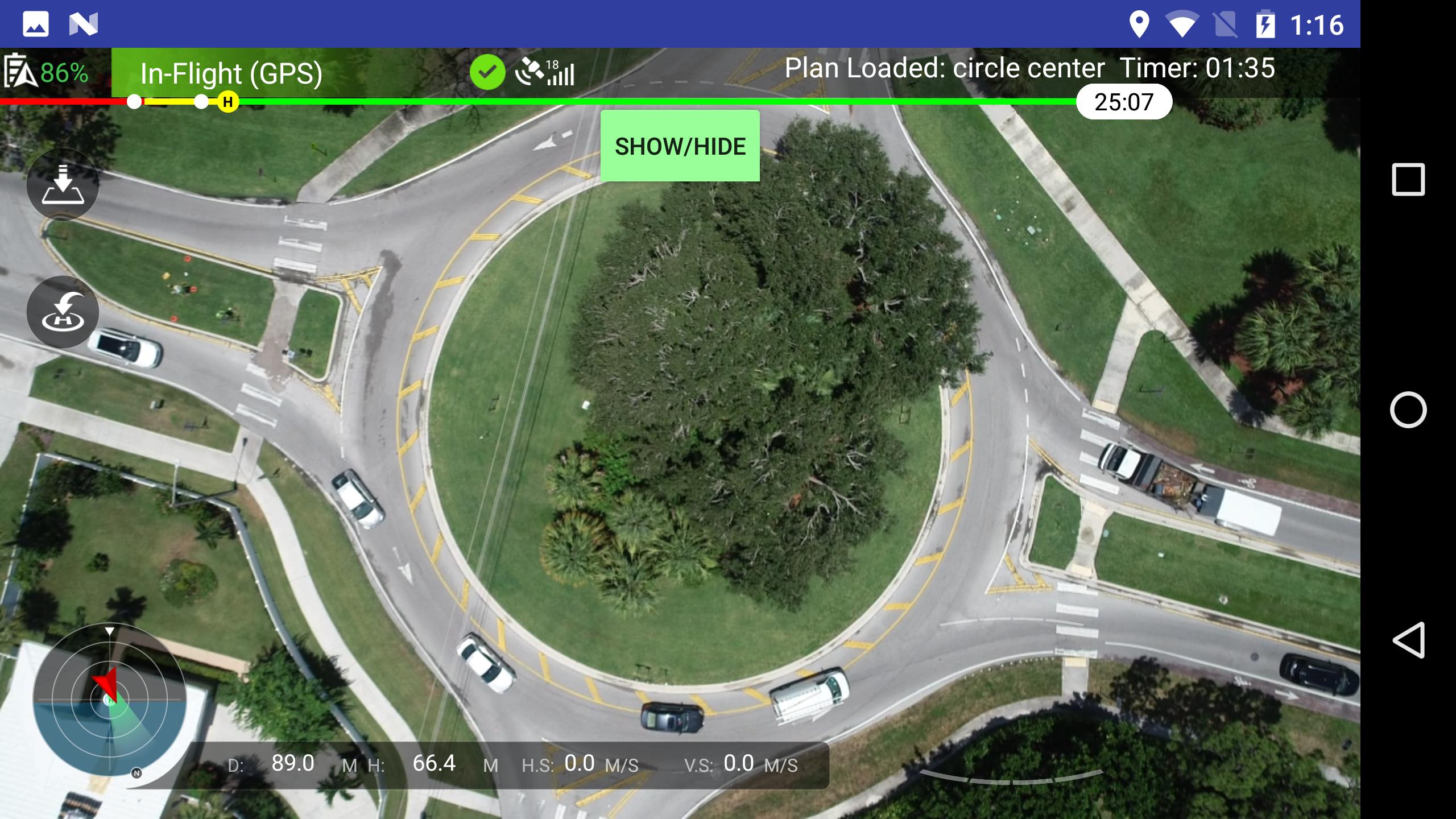
3. Hotpoint Missions – Hotpoint flights navigate a circumference around a pre-specified geographical target. They are automated, line of sight missions that occur within remote controller range.
4. QuickPoint Missions – QuickPoint flights are fully autonomous for beyond visual line of sight missions that have FAA Part 107 approval. QuickPoint allows for a single point, rapid set-up, fully autonomous Hotpoint aerial drone mission (see above)
DroneMagic Operating Features
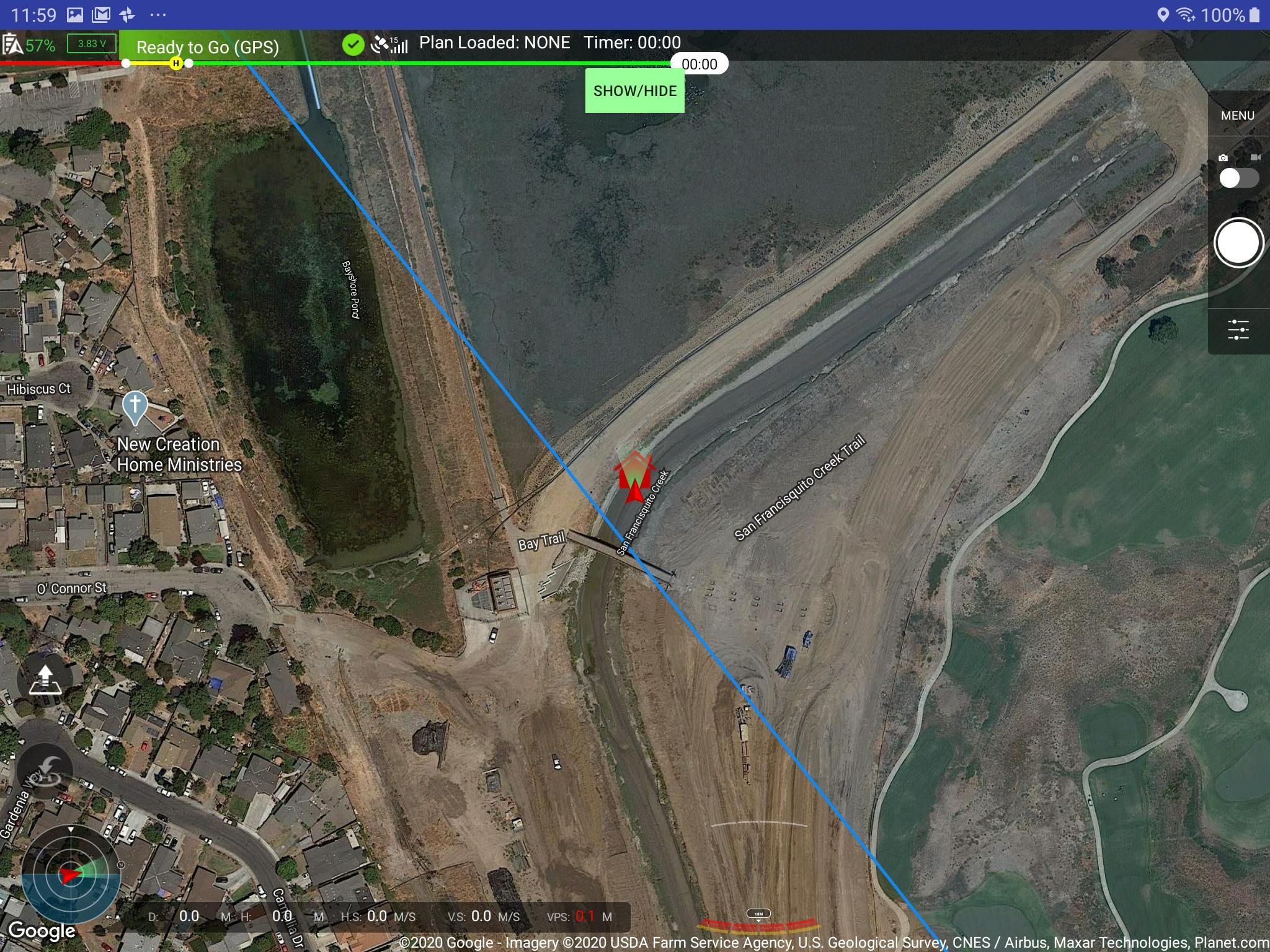
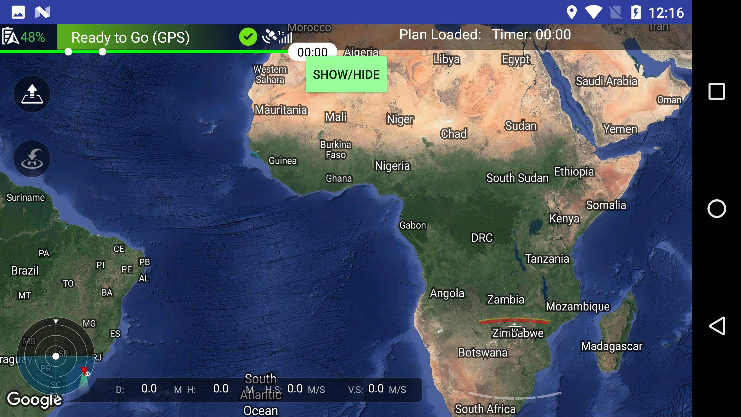
Google Maps interface - Visualize flight plans on Google Maps with automatic screenshot capture for each mission. A hybrid integration provides satellite view with street details to optimize waypoint placement.
Mapping - Rapidly auto-create a mapping-mission grid overlay by touching the Google Maps interface to create a four-point boundary. DroneMagic will auto-fill the mapping route based on pre-selected flight parameters.
Safety - Drone damage and loss prevention features are standard through a safe height collision and obstacle avoidance system with an optimized safe go-home height. DroneMagic will pre-detect a safe home location before allowing takeoff.
Battery Management - Battery sensors are auto-configured based on flight plan with ability to check drone battery lifetime left.
Data Management - Post-mission photo data transfer includes a wireless transfer option of photos from drone to a tablet’s storage and/or a hard-wired transfer to any device with USB connectivity. Storage-ready flight logs, imagery, photos, video, and uploaded files. Google Drive storage integration with Waypoint Missions.
Web Integration - Auto-update a website with mission media content. System will compress photos into a web-optimized format with upload to Google Drive storage.
Video - A satellite-detected home waypoint is automatically set. Stream live via YouTube (applies to LOS flights)
Ortho Processing - Export and integrate with DroneMagic mapping software to generate orthomosaics, digital surface models, NDVI maps, plant health graphics and contour maps.
Warranty Notification –
THE DRONEMAGIC SOFTWARE APPLICATION IS PROVIDED “AS IS”, WITHOUT WARRANTY OF ANY KIND, EXPRESS OR IMPLIED, INCLUDING BUT NOT LIMITED TO THE WARRANTIES OF MERCHANT-ABILITY, FITNESS FOR A PARTICULAR PURPOSE AND NON-INFRINGEMENT. IN NO EVENT SHALL THE AUTHORS OR COPYRIGHT HOLDERS BE LIABLE FOR ANY CLAIM, DAMAGES OR OTHER LIABILITY, WHETHER IN AN ACTION OF CONTRACT, TORT OR OTHERWISE, ARISING FROM, OUT OF OR IN CONNECTION WITH THE SOFTWARE OR THE USE OR OTHER DEALINGS IN THE SOFTWARE.
Last updated on Apr 8, 2021
New DJI SDK
Removed photography toggle on waypoints
New Splash/Intro screen
Moved videos to new Tutorial section accessed via the intro screen.
Waypoint attributes added to modify screen.
Save and load orthomosiac mapping missions.
Modify orthomosiac mapping mission attributes.
Latest Version
![]() 2.6
2.6
Uploaded by
Rafi Akilah
Requires Android
Android 8.0+
Available on
![]()
Category
Report


Discover what you want easier, faster and safer.

DroneMagic
2.6 by Computer Golf Software Inc.
Jul 13, 2022